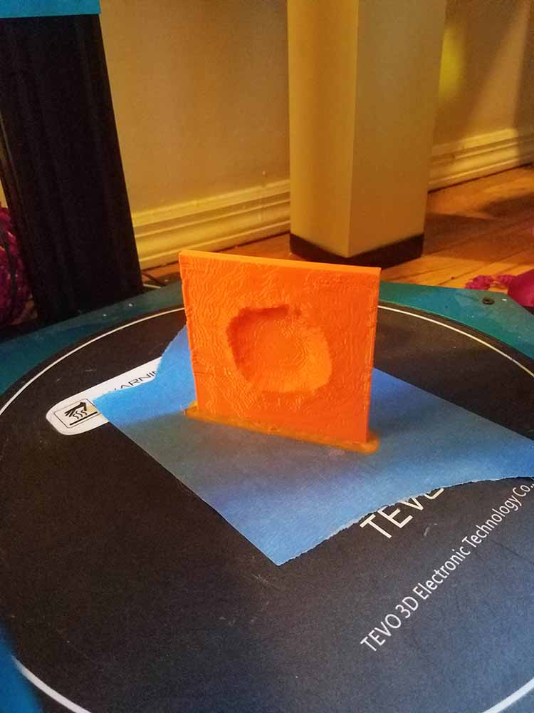

on the second day, i thought it would be fun to do an exercise involving fetching some height data and creating a new 3D print of a famous crater on planet earth.
i had a hard time finding data, trying to scrape a 3D file out of Google Earth or trying to see if NASA had global data for use. finally i found a website called 'terrain.party' which i would highly recommend for any and all earth-based terrain data needs.
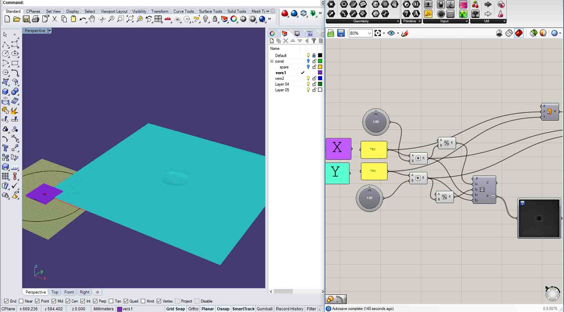
terrain.party provided a set of data in black-white image form, which is perfect for reading with grasshopper. i used the experience i'd gotten creating a mars globe and plugged in my map, taking care to crop and scale appropriately. i added a nice little title imprint and sent it to the machine!

